


Professional Marine survey services
Masirah Marine provides a comprehensive range of marine survey services to support the planning, design, and execution of marine and offshore projects. With in-house survey capability and experienced personnel, the company delivers reliable data and practical insight across a wide variety of marine environments.
Our Marine Survey Capabilities
Precise marine survey and investigation services across Oman — delivering the data that underpins safe, informed, and efficient project delivery.
Bathymetric Surveys
High-quality bathymetric surveys to support navigation, design development, and construction planning for marine infrastructure projects. Our survey teams utilise advanced multibeam and single-beam systems to deliver accurate seabed mapping across Oman's coastal and offshore waters.
Discuss a Project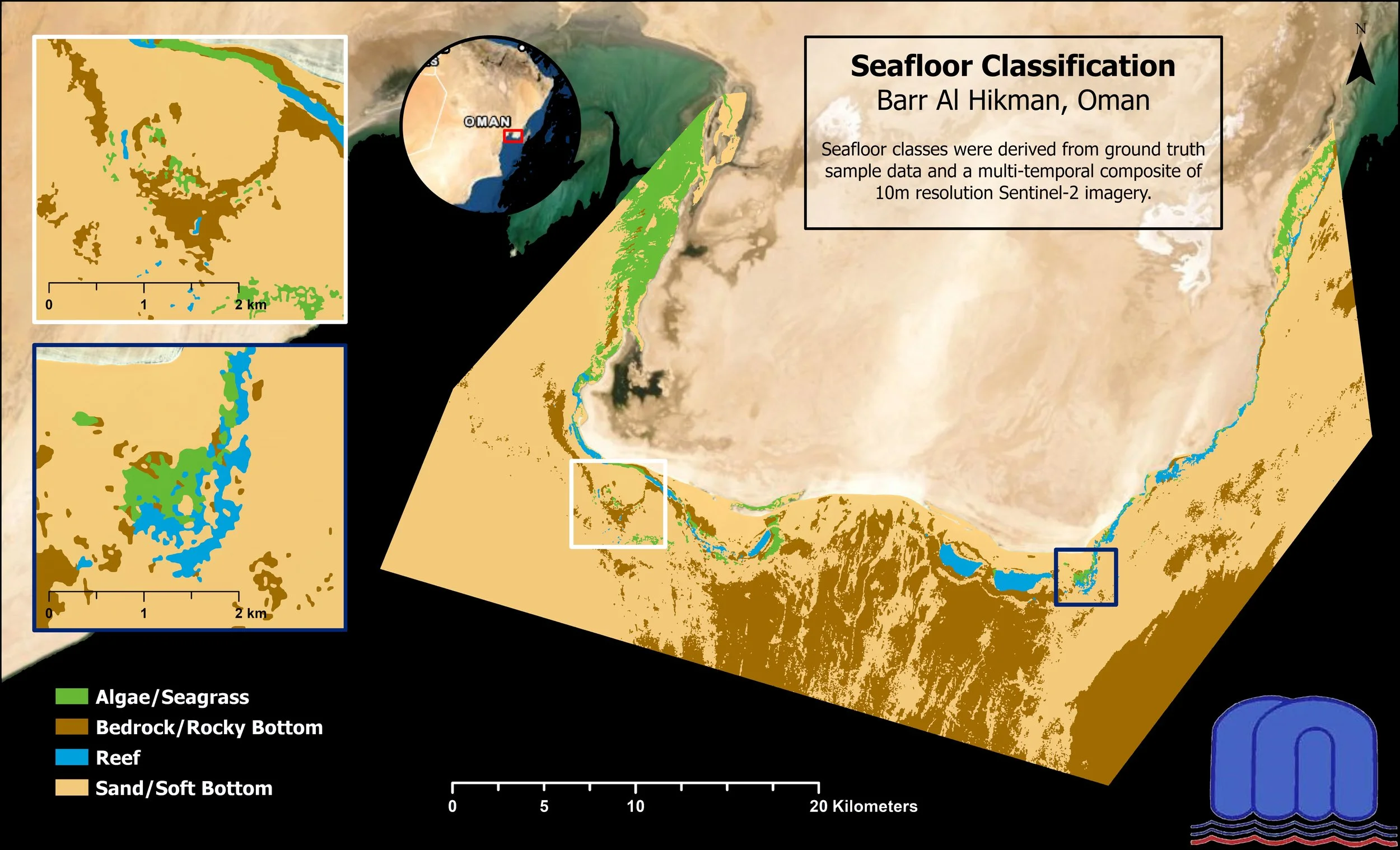
Marine Geophysical Surveys
Geophysical survey services to identify seabed features and subsurface conditions, supporting risk assessment and informed engineering design. Our services include side-scan sonar, sub-bottom profiling, and magnetometer surveys tailored to project requirements.
Discuss a Project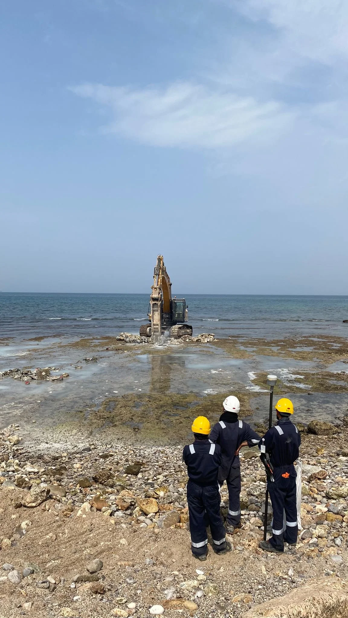
Marine Geotechnical Investigations
Marine geotechnical investigation services to assess seabed and soil conditions, providing essential input for foundation design and marine construction works. Our investigations include seabed sampling, in-situ testing, and laboratory analysis to characterise subsurface conditions.
Discuss a Project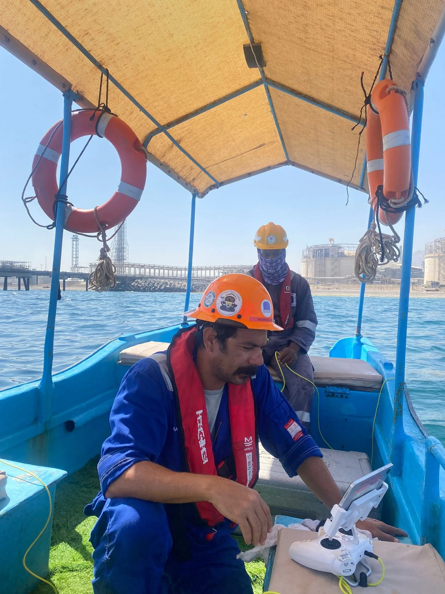
ROV Services
Remotely Operated Vehicle (ROV) services to support underwater inspection, survey, and assessment activities in support of marine and subsea works. Our ROV operations provide high-resolution video and data capture in areas inaccessible to divers, across a range of water depths.
Discuss a Project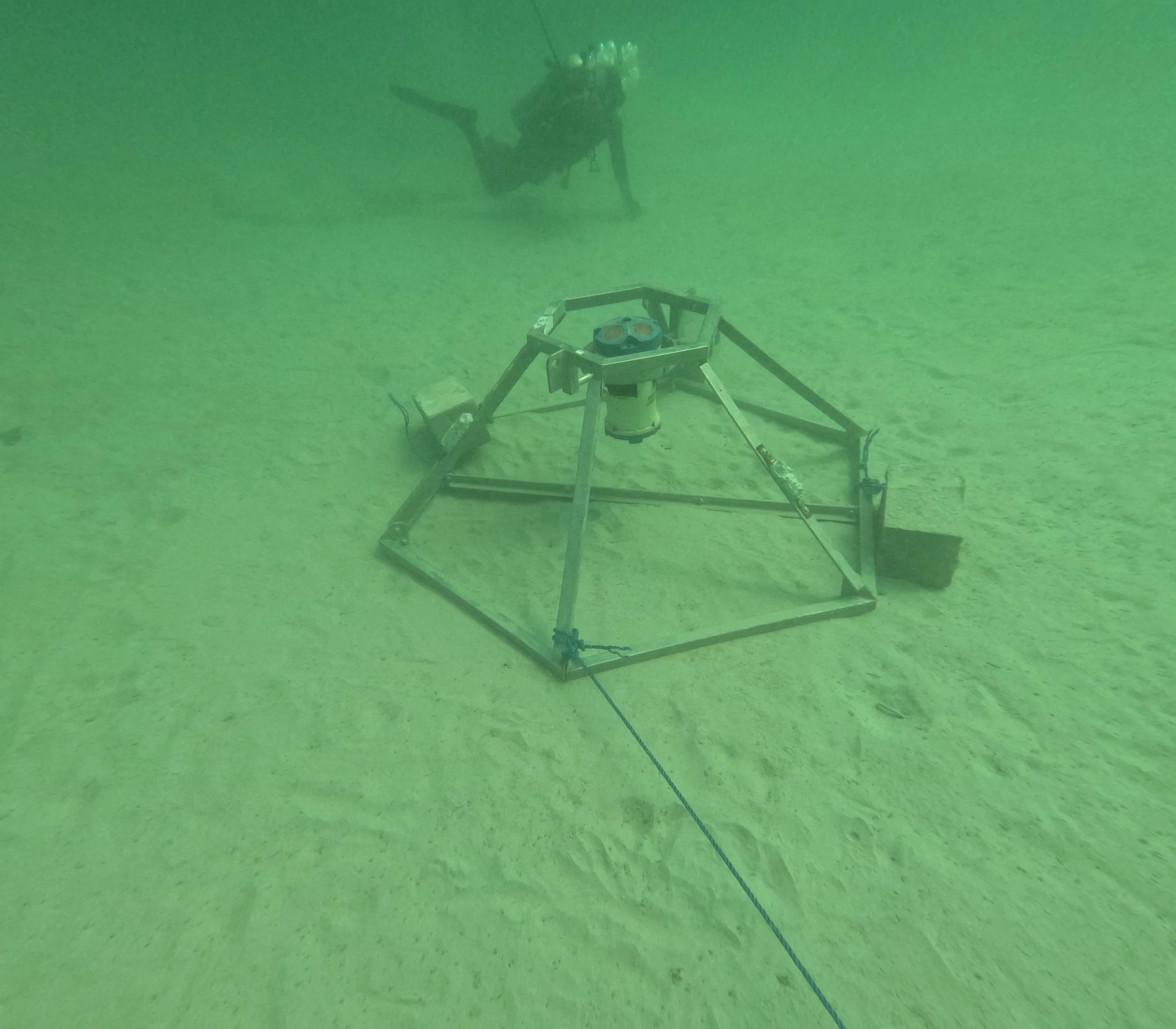
Metocean & Oceanographic Studies
Metocean and oceanographic data collection and analysis to support project planning, design criteria, and operational decision-making in the marine environment. Our services include wave, current, tidal, and wind data acquisition and reporting.
Discuss a Project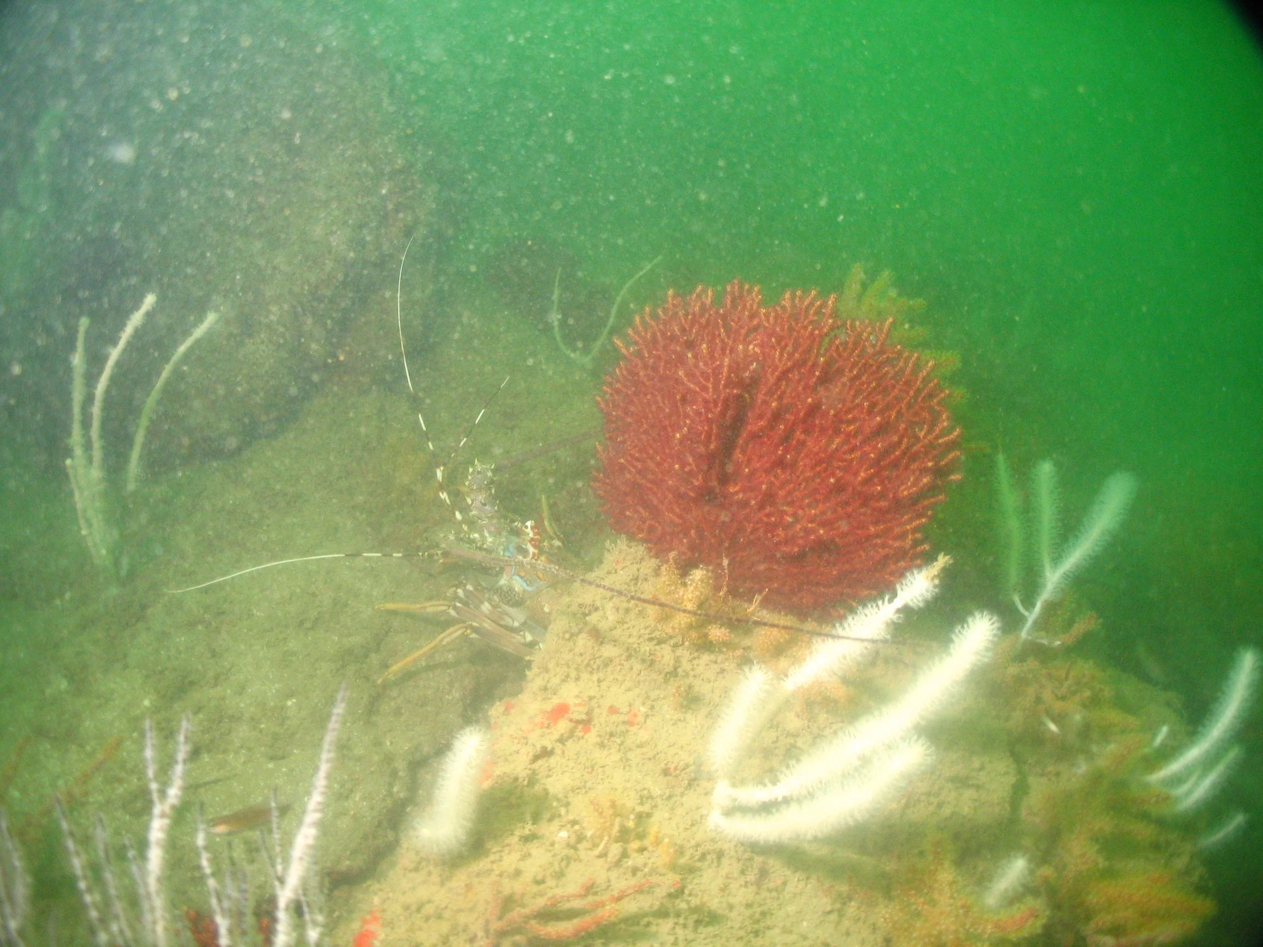
Marine Environmental Surveys
Environmental survey services to support baseline studies, regulatory requirements, and environmentally responsible marine project delivery. Our environmental teams conduct marine habitat assessments, water quality monitoring, and ecological baseline surveys across Oman's coastal zones.
Discuss a ProjectSelected Projects
Marine Survey Works
Explore a selection of marine survey projects completed by Masirah Marine across Oman, supporting environmental assessment, geophysical investigation, and long-term bathymetric monitoring programs.
Environmental and Geophysical Survey
Barr Al Hikman, Oman
Integrated ecological, hydrographic, geophysical, and benthic survey including rare seahorse identification.
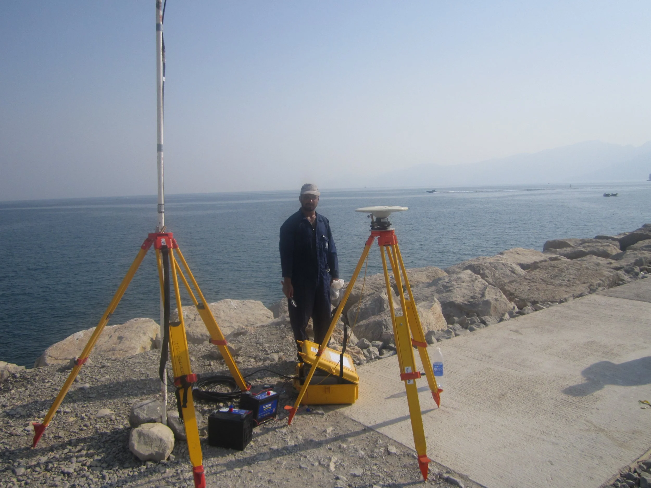
Musandam Gas Plant Survey
Musandam Gas Plant, Musandam, Oman
Integrated geophysical, bathymetric, and sub-bottom profiling surveys supporting offshore infrastructure design.
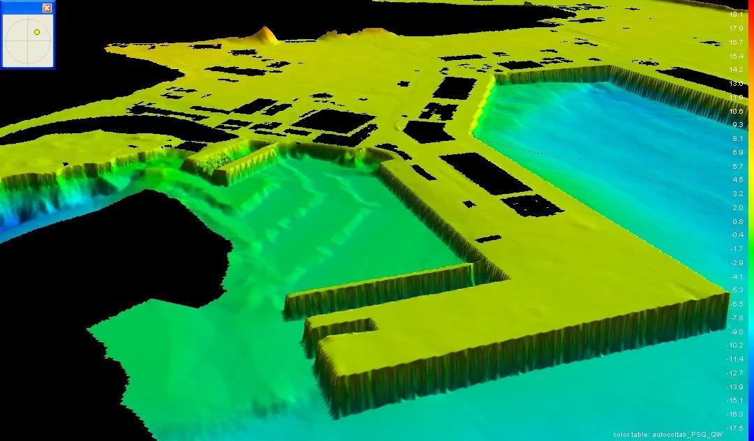
Port of Duqm Annual Bathymetric Monitoring
Port of Duqm, Oman
Seven-year annual bathymetric monitoring program tracking seabed change and supporting dredging strategy at Duqm.